
Page 12 - Alderville First Nation
P. 12
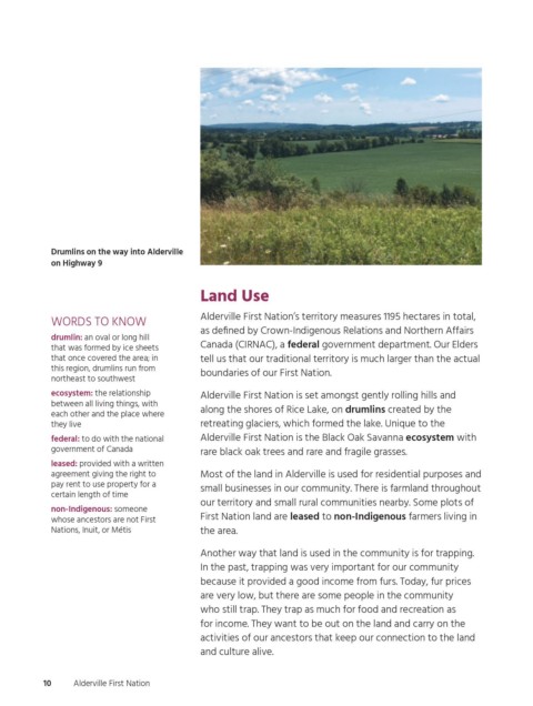
Drumlins on the way into Alderville
                  on Highway 9


                                                  Land Use

                                                  Alderville First Nation’s territory measures 1195 hectares in total,
                  WORDS TO KNOW
                                                  as defined by Crown-Indigenous Relations and Northern Affairs
                  drumlin: an oval or long hill
                                                  Canada (CIRNAC), a federal government department. Our Elders
                  that was formed by ice sheets
                  that once covered the area; in   tell us that our traditional territory is much larger than the actual
                  this region, drumlins run from
                                                  boundaries of our First Nation.
                  northeast to southwest
                  ecosystem: the relationship     Alderville First Nation is set amongst gently rolling hills and
                  between all living things, with
                                                  along the shores of Rice Lake, on drumlins created by the
                  each other and the place where
                  they live                       retreating glaciers, which formed the lake. Unique to the
                  federal: to do with the national   Alderville First Nation is the Black Oak Savanna ecosystem with
                  government of Canada            rare black oak trees and rare and fragile grasses.
                  leased: provided with a written
                  agreement giving the right to   Most of the land in Alderville is used for residential purposes and
                  pay rent to use property for a
                                                  small businesses in our community. There is farmland throughout
                  certain length of time
                                                  our territory and small rural communities nearby. Some plots of
                  non-Indigenous: someone
                                                  First Nation land are leased to non-Indigenous farmers living in
                  whose ancestors are not First
                  Nations, Inuit, or Métis        the area.
                                                  Another way that land is used in the community is for trapping.
                                                  In the past, trapping was very important for our community
                                                  because it provided a good income from furs. Today, fur prices
                                                  are very low, but there are some people in the community
                                                  who still trap. They trap as much for food and recreation as
                                                  for income. They want to be out on the land and carry on the
                                                  activities of our ancestors that keep our connection to the land
                                                  and culture alive.


                 10    Alderville First Nation


          ogemawahj_community_book3.indd   10                                                               2019-02-28   10:57 AM