
Page 10 - Alderville First Nation
P. 10
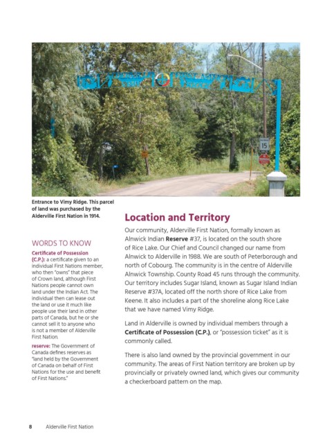
Entrance to Vimy Ridge. This parcel
                  of land was purchased by the
                  Alderville First Nation in 1914.  Location and Territory
                                                  Our community, Alderville First Nation, formally known as
                                                  Alnwick Indian Reserve #37, is located on the south shore
                  WORDS TO KNOW
                                                  of Rice Lake. Our Chief and Council changed our name from
                  Certificate of Possession
                                                  Alnwick to Alderville in 1988. We are south of Peterborough and
                  (C.P.): a certificate given to an
                  individual First Nations member,   north of Cobourg. The community is in the centre of Alderville
                  who then “owns” that piece      Alnwick Township. County Road 45 runs through the community.
                  of Crown land, although First
                                                  Our territory includes Sugar Island, known as Sugar Island Indian
                  Nations people cannot own
                  land under the Indian Act. The   Reserve #37A, located off the north shore of Rice Lake from
                  individual then can lease out
                                                  Keene. It also includes a part of the shoreline along Rice Lake
                  the land or use it much like
                  people use their land in other   that we have named Vimy Ridge.
                  parts of Canada, but he or she
                  cannot sell it to anyone who    Land in Alderville is owned by individual members through a
                  is not a member of Alderville   Certificate of Possession (C.P.), or “possession ticket” as it is
                  First Nation.
                                                  commonly called.
                  reserve: The Government of
                  Canada defines reserves as
                                                  There is also land owned by the provincial government in our
                  “land held by the Government
                  of Canada on behalf of First    community. The areas of First Nation territory are broken up by
                  Nations for the use and benefit   provincially or privately owned land, which gives our community
                  of First Nations.”
                                                  a checkerboard pattern on the map.


                 8     Alderville First Nation


          ogemawahj_community_book3.indd   8                                                                2019-02-28   10:57 AM