
Page 10 - Beausoleil First Nation
P. 10
WORDS TO KNOW Location and Territory
Anishinaabemowin
(a-nish-na-bay-moe-in): the Beausoleil First Nation is formally registered by Crown–
Anishinaabe language Indigenous Relations and Northern Affairs Canada (CIRNAC — a
G’chi Mnissing federal government department) as Christian Island Reserve
(gih-chim-niss-ing): big island
#30. Our community is known to us as G’chi Mnissing, which
reserve: The Government of
means “big island” in Anishinaabemowin (our language). Our
Canada defines reserves as
“land held by the Government territory consists of three islands located in Ontario near the
of Canada, on behalf of First southern shores of Georgian Bay. They are Hope Island, Beckwith
Nations for the use and benefit
Island, and Christian Island. Additional small areas are also part
of First Nations.”
of the territory, including Little Christian Island, the Stoney
Islands, the Watcher Islands, and land at the ferry dock, known
as Cedar Point.
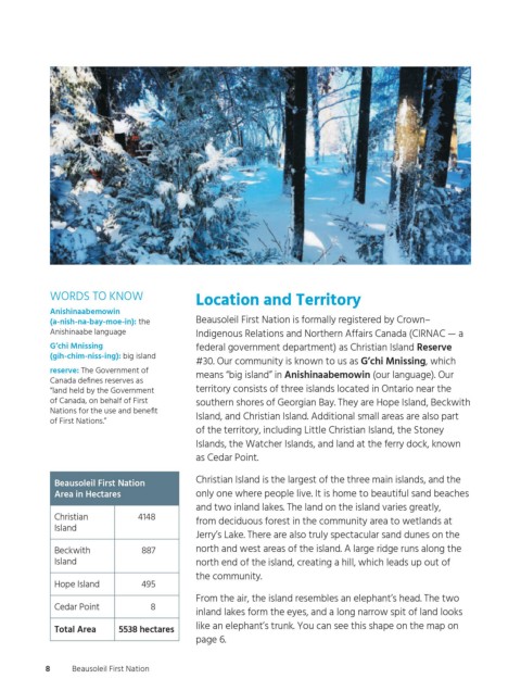
Christian Island is the largest of the three main islands, and the
Beausoleil First Nation
Area in Hectares only one where people live. It is home to beautiful sand beaches
and two inland lakes. The land on the island varies greatly,
Christian 4148
from deciduous forest in the community area to wetlands at
Island
Jerry’s Lake. There are also truly spectacular sand dunes on the
Beckwith 887 north and west areas of the island. A large ridge runs along the
Island north end of the island, creating a hill, which leads up out of
the community.
Hope Island 495
From the air, the island resembles an elephant’s head. The two
Cedar Point 8
inland lakes form the eyes, and a long narrow spit of land looks
like an elephant’s trunk. You can see this shape on the map on
Total Area 5538 hectares
page 6.
8 Beausoleil First Nation
ogemawahj_community_book2.indd 8 2019-02-27 10:33 AM